New York Times Magazine "Local Voyages" Project
I originally posted what appears below on Saturday, February 9th. I took it down temporarily right after that because the NY Times didn't want anything out there about the project (even if they were images that they weren't going to publish). Well, the project is being published this weekend, so they're now ready for any of these shots to go public.
You'll read shortly that I was hired to be one of the photographers doing this project for the Times Magazine, but then they decided to make it a local project a few days later and not use any photos from outside of the NY area (which includes my images). The GOOD NEWS is that they changed their project AGAIN, and one of my images below made it onto their website. More on that in a few days.
In the meantime, here's the original post of mine from earlier last month:
[Originally posted February 9, 2013.]
On Wednesday, I got a phone call from one of the photo editors at the New York Times Magazine. She asked me to take part in a nationwide photo project they were calling "Local Voyages." They were asking photographers who use Instagram from all across the USA to take a short "local voyage" to show or uncover something that might make people say "who knew that was there?" It had to be a short trip or something that could be discovered over a long lunch. The only other rules were that it had to be near home, you couldn't touch the images in Photoshop, and you had to use your camera phone and Instagram to submit your images.
Intriguing!
And in typical magazine fashion, they wanted the photos in 5 days.
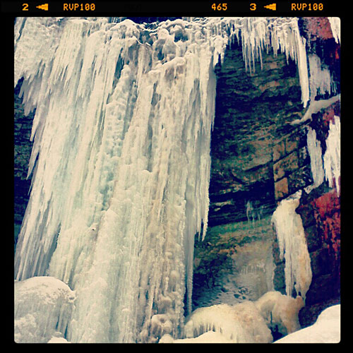
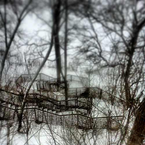
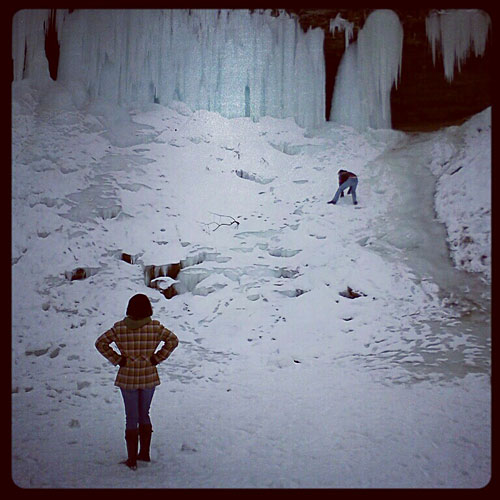
I had a few ideas, and they all revolved around the Mississippi River. Everyone KNOWS the River is there, but there are parts of it that are a little less known. I ended up using the idea that someone working in Downtown Minneapolis could head south over a long lunch and run / hike along the Mississippi River to Minnehaha Falls. There's the popular "River Road" that has a trail right along it that could get a person from downtown to the Falls, but there are plenty of hidden trails that wind directly along the River's edge that I wanted to explore for this. (I live less than a mile off of the River, and there were plenty of trails that even I hadn't explored, and I run down along the River a few times a week.)
Before I show some of my photos, you need to know the rest of the story. I was called by the NY Times Magazine on Wednesday, and I went out to shoot / run on Thursday morning. On Friday, I learned that they changed the project to just be about NY City and the surrounding area. So my photos won't be used by the Times, but I'd still like to show them here.
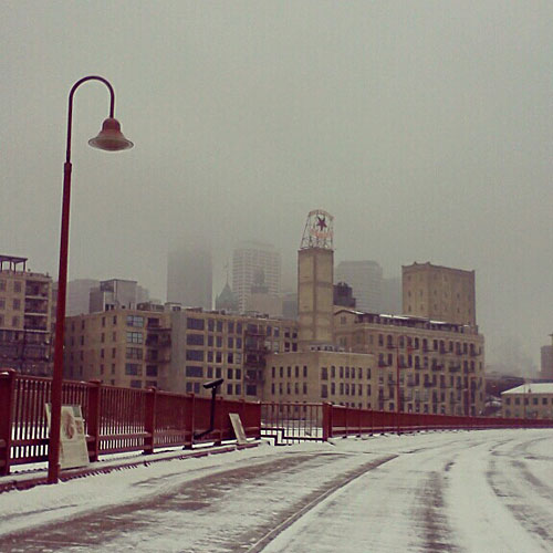
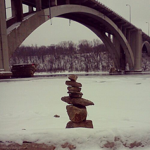
So here's my edit of 16 photos from this project that starts with foggy downtown seen from the Stone Arch Bridge:
Under the Interstate 94 bridge connecting Minneapolis and St. Paul.
Frozen sewer drains below Franklin Ave.
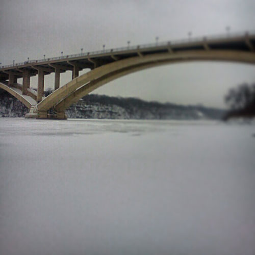
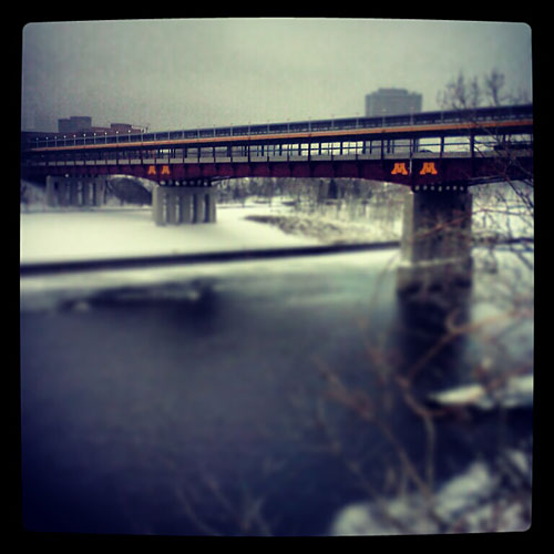
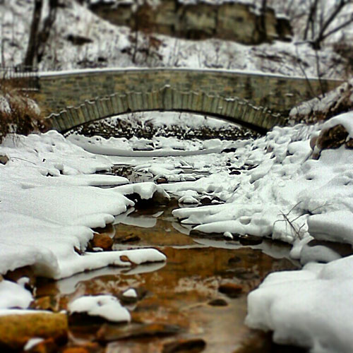
Lake Street Bridge.
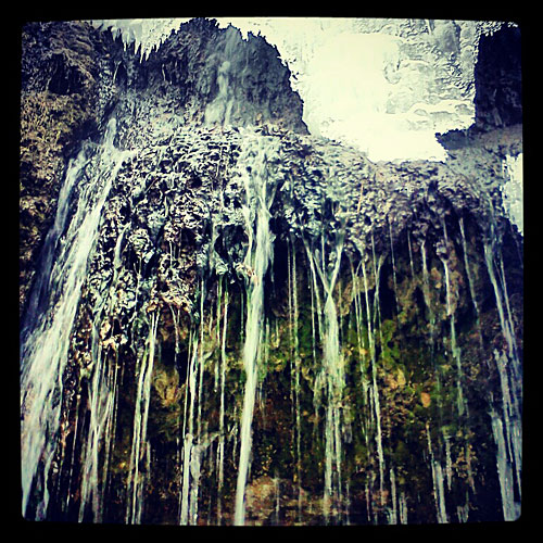
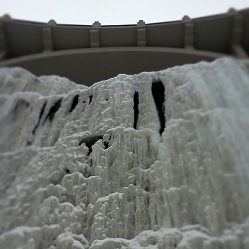
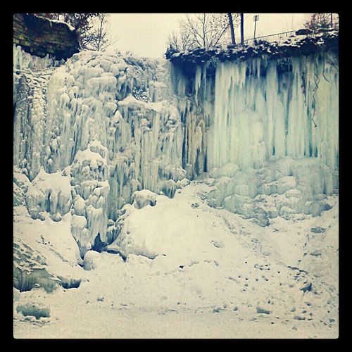
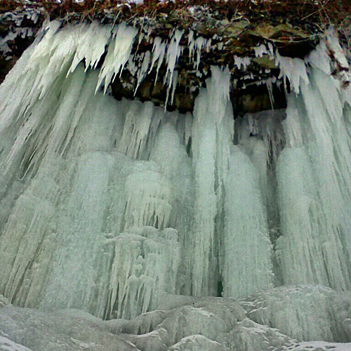
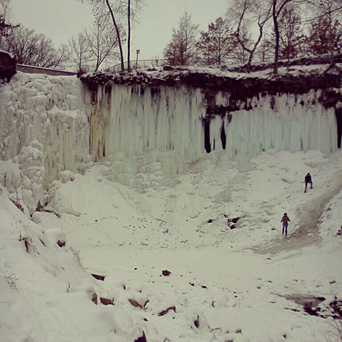
Hidden waterfall near the University of St. Thomas.
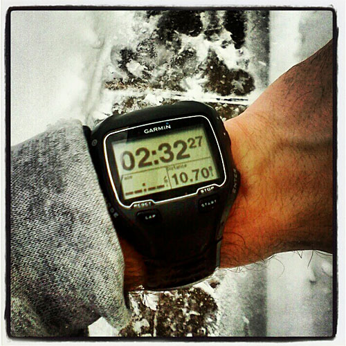
Slowest run ever.


3 comments:
Lovely photos of places I know well. Looks like a fun time scouting out the photos.
Gorgeous! Last time I was at Minnehaha falls in November, it was all dried up. Nice to see that lovely icefall!
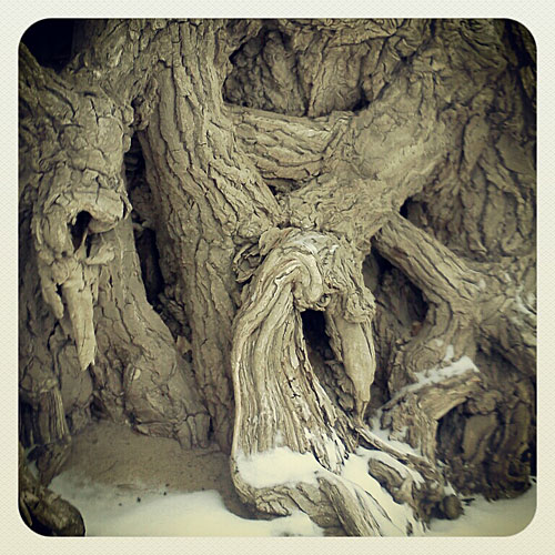
The photo of the gnarled tree trunks is hauntenly beautiful. Thank you for sharing!
Post a Comment